Field notes
Guides for a Bass Strait island that rewards planning
Each guide is written to be quoted, not skimmed. We cite King Island Council, Tourism Tasmania, Parks and Wildlife Service Tasmania and the Bureau of Meteorology where a number appears.
Guide
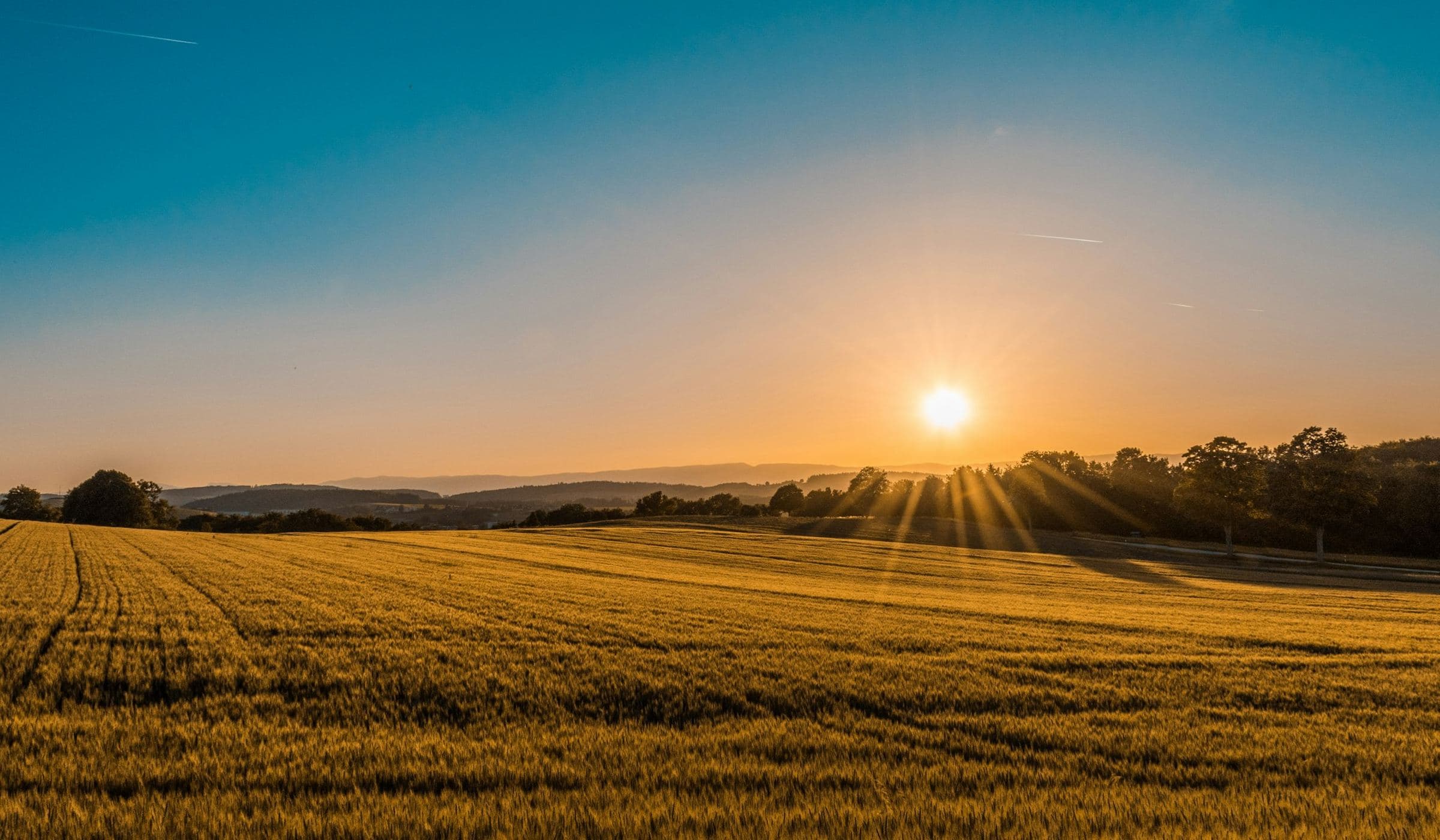
Currie, King Island
Currie is the default. Official pages measure the airport and the Calcified Forest from it. That does not make it a city. It makes it the hinge of a visit.
Guide
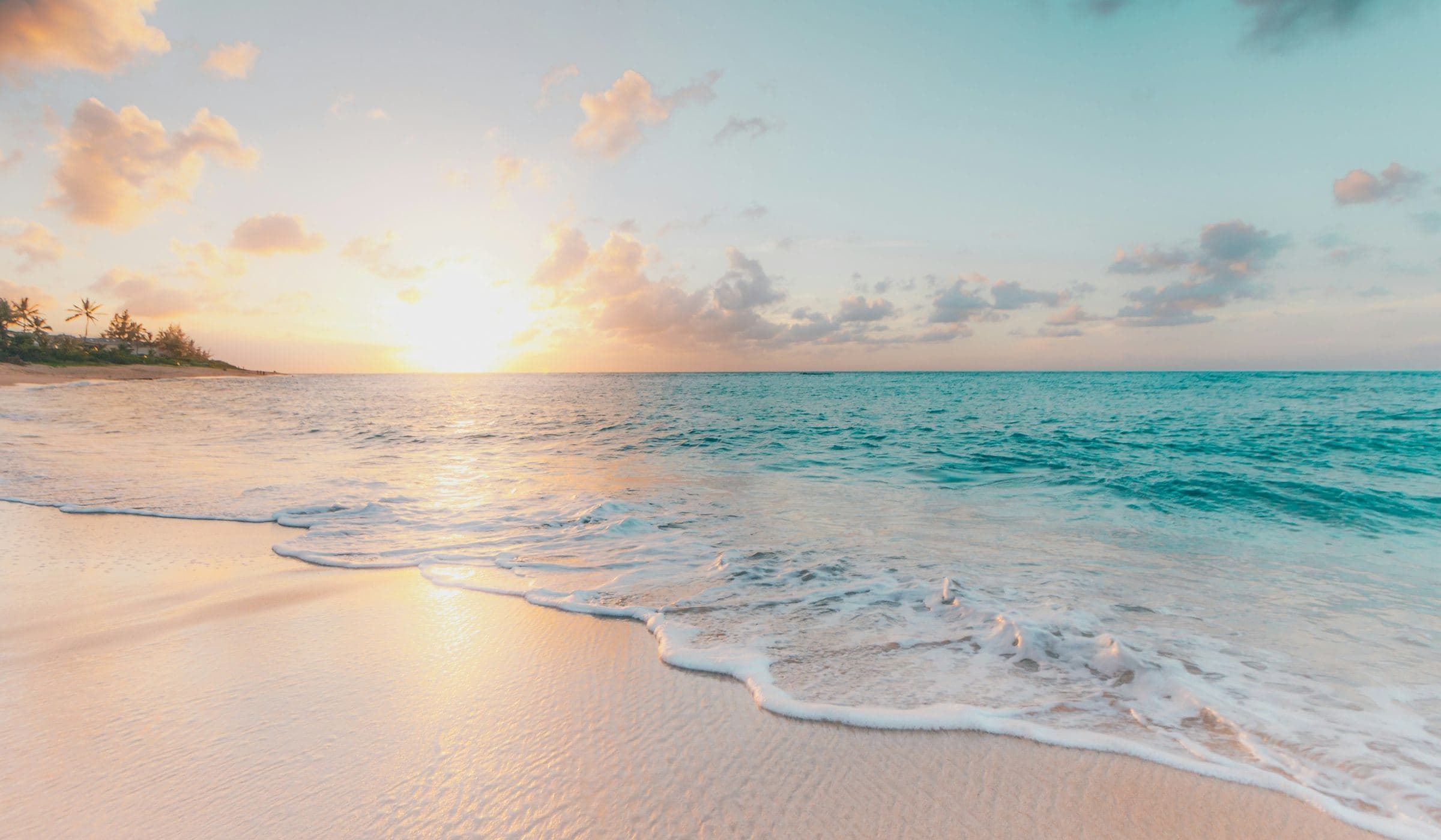
Grassy and Naracoopa
If Currie is the hinge, Grassy and Naracoopa are the reminder that the island has more than one shore. Official pages name Grassy for fuel. Maps name Naracoopa as an east-coast village.
Guide
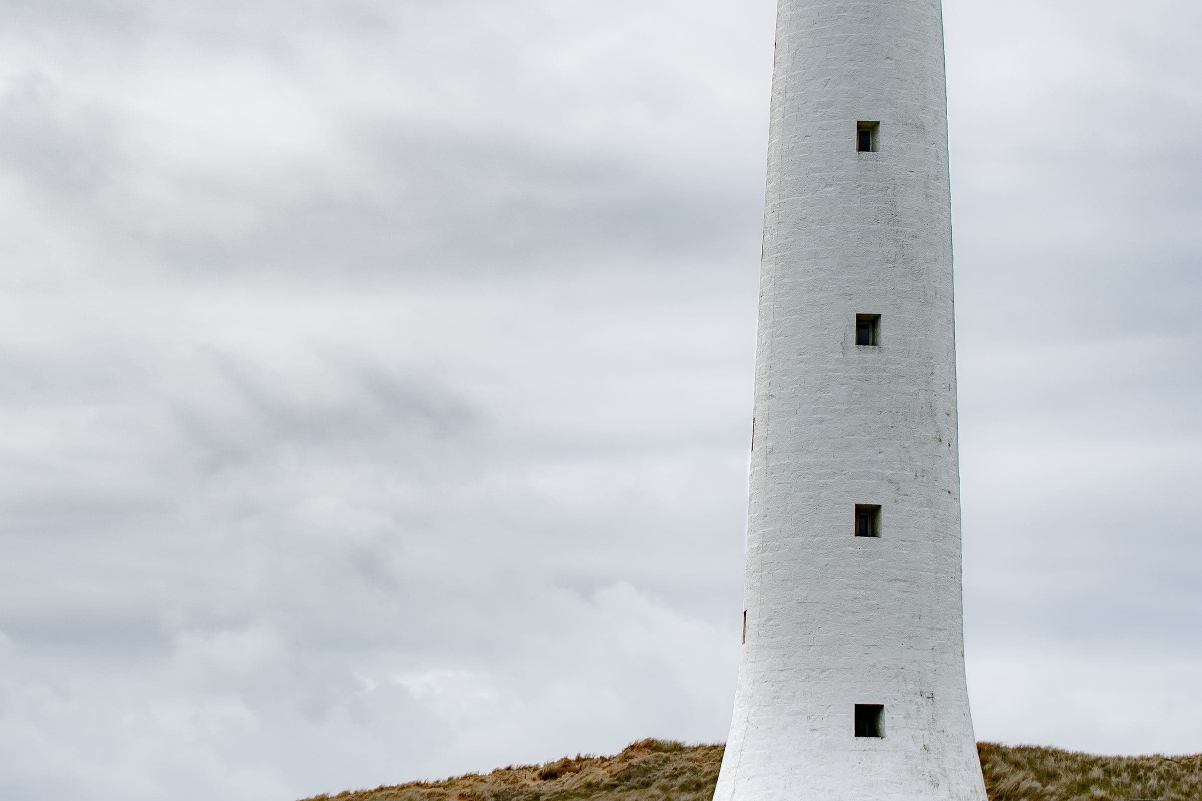
Lighthouses and shipwrecks
The western entrance to Bass Strait was lethal enough that Australia built its tallest lighthouse here. This guide stays with official heritage sentences and refuses a treasure map.
Guide
Packing and biosecurity
Pack for a cool maritime wind and a farming island that does not want your soil. Official pages already wrote the serious parts.
Guide
Self-drive King Island
The car is the public transport. Official visitor pages say so by describing its absence. This guide is about not becoming a problem on a farm road.
Guide
Three days on King Island
Three days is the first duration that feels like a visit. This is a pacing sketch that obeys official constraints — not a sold itinerary.
Guide
Walking and beaches field notes
One official short walk you can quote, a handful of named coasts, and a long list of places that are just weather. Walk the first. Respect the rest.
Guide
When to visit King Island — a BOM reading
The best month is the month whose averages you can live with and whose flights you can actually hold. Here is how to read the official table.