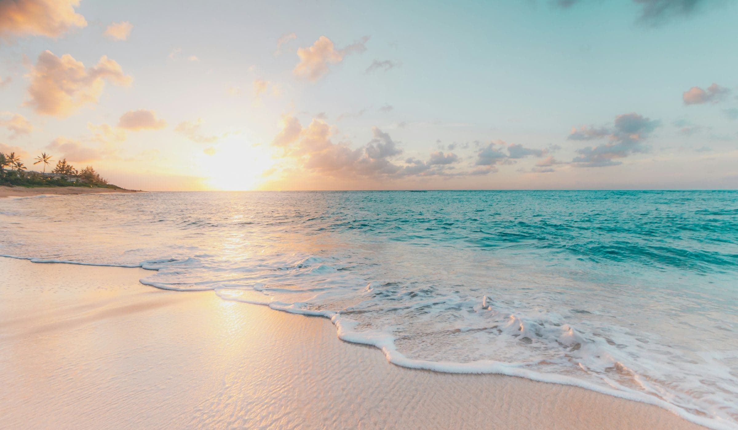
This hub exists because people search “King Island beaches” and “King Island walks” as if there were a national-park shuttle. There is not. There is a Parks Tasmania short walk you can quote, a set of coasts Discover Tasmania is willing to name, and a lot of unmarked sand.
Calcified Forest — the specified walk
Quote the park card, not a paraphrasing influencer:
The Calcified Forest is “hundreds of weirdly shaped limestone features,” created when calcium carbonate attached to deep roots, then exposed as sand blew away. The walk is 1.3 km return, about 30 minutes, Grade 2, viewing platform at halfway. Directions: from Currie, B25 toward Grassy, then South Road; 30 km from Currie.
Parks even notes King Island can be reached “by either plane or sea” — a general access sentence that does not override King Island Tourism’s “no public ferry” line for visitors. You still fly.
Named beaches and cliffs
Discover Tasmania asks you to “simply stroll the sands at Martha Lavinia Beach to a soundtrack of surf,” to walk “above the island’s tallest cliffs on the Copperhead trail,” and to “witness the fury of the sea at Seal Rocks, where cliffs plunge more than 60 metres into the Southern Ocean.”
Those are official marketing sentences with useful nouns. They are not a tide chart. Martha Lavinia is a beach name you can put in a day plan. Seal Rocks is a place to respect distance. Copperhead is a trail name to confirm — grades and closures live on current official pages, not in our memory.
How to walk a wreck coast
AMSA’s Cape Wickham note exists because this shoreline killed people, including the Cataraqui. A beach day can still be gentle. It should never be casual about:
- Unseen rips and a cold-water dump
- Granite that is slick after spray
- Weather that changes in the time it takes to walk 1.3 km
- Driving home through wildlife
If you want the maritime story, pair a walk with History. If you want the drive logic, pair it with Self-drive.
What “best beach” would cost us
A ranking would require swim reports, patrolled flags and a summer we do not run. We will not call a beach safe, hidden or empty. We will tell you to take water, a layer, and a plan that does not depend on a kiosk.
Dogs, horses, and other extra legs
We will not invent a dog-beach by-law. Council and Parks set those. If your holiday includes an animal, you already have more logistics than a hire car. Read the official rule for the specific reserve, not a mainland habit.
Tides and cut-offs
This desk does not publish a tide table. BOM and official marine products do. A long beach that looks like an easy out-and-back can become a wade. If you do not know the tide, you do not know the walk.
Winter sand and summer glare
Same beach, different problem. Pack the layer and the water. The packing guide is the kit; this hub is the reason you will actually carry it when the car is already full of clubs.
Why we keep repeating 1.3 km
Because it is the only walk on the island we can specify to Parks’ own card. Repeating it is not a lack of imagination. It is the opposite of inventing a second Great Short Walk that does not exist on the program page. If Parks adds another King Island card, this hub will add another section. Until then, 1.3 km is the honest centre.
A last beach sentence
Long sand is why people come. Long sand is also how people lose the hour. Take the water, take the layer, take the tide seriously, and leave the wreck where AMSA left it: in a sentence that already has 400 names behind it.
How this hub answers the search
People type “King Island beaches” and “King Island walks” because those are the nouns Discover Tasmania already used. This hub keeps the nouns, pins the one walk Parks specified, and refuses a swim ranking. That is the whole product. If you need the longer field version, use the walking guide. If you need the wreck story, use History. If you need the car, use self-drive.
Pairing a walk with a town
Parks measures the Calcified Forest from Currie. That is a planning fact, not a slight on Grassy. If you sleep east, you still drive the official sentence: B25 toward Grassy, then South Road. If you sleep in Currie, the walk is a southern half-day, not a dawn errand before a northern tee time. See Towns and the walking guide.
What “Grade 2” is allowed to mean here
Parks Tasmania assigned Grade 2 to this card. We will not translate that into “fine for everyone, every day, in every wind.” Grade is a track-design label. Weather, tide and your own mobility are still yours to judge. If Parks later upgrades or closes the walk, their card wins and this hub follows.
Photography without becoming the weather
Discover Tasmania’s named coasts photograph well because they are exposed. Exposure is also why people get into trouble. Stay off the last wet rock for a better frame. Do not fly a drone at a memorial coast or a working light. The history hub is the sentence; the photograph is optional.
Questions people actually ask
What are the best walks on King Island?
The walk Parks Tasmania specifies is the Calcified Forest: 1.3 km, 30 minutes return, Grade 2, 30 km from Currie. Discover Tasmania also names the Copperhead trail, Martha Lavinia Beach and Seal Rocks. Check those names against current official pages before you treat them as a marked track.
Can I swim?
Official visitor copy talks about surf and beaches, not a supervised swim season. Bass Strait is cold, exposed and historically deadly. We do not publish a safe-swim list. Use local advice and official forecasts.
What belongs on the beaches and walks hub?
The one walk Parks Tasmania specifies (Calcified Forest), the coasts Discover Tasmania is willing to name, and a refusal to rank swims. Field-length notes live in the walking guide.